Toggle navigation
About Us
Associated Business
Tea Estate
CSR & News
Contact Us
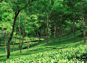
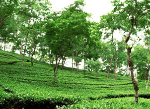
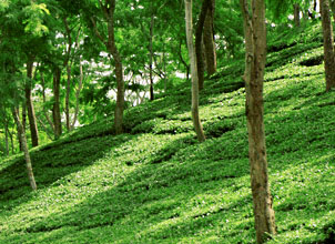
Tea Estate
Tea Estates
×
RFA
TRUSTEA
HACCP
ISO